Latitude: N 51° 56' 46", Longitude: W 4° 46' 26"
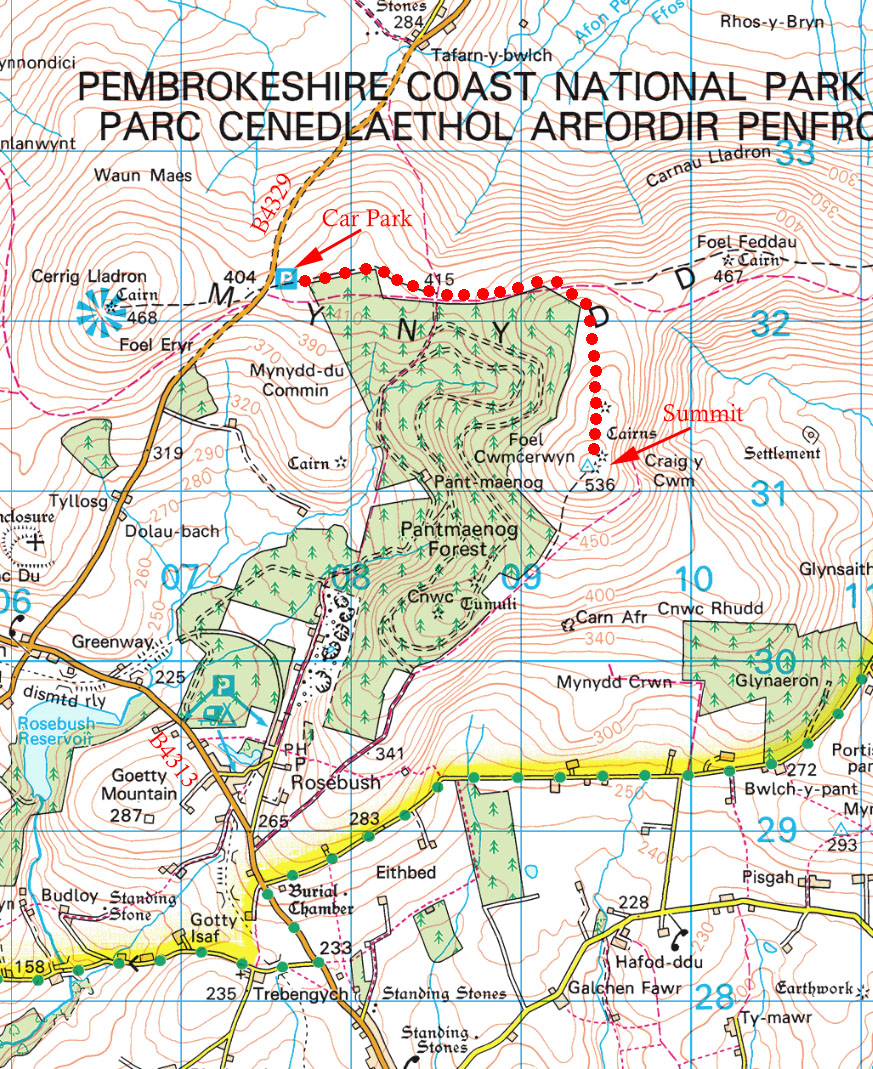
Grid Reference : SN094311
QTH Locator: IO71ow
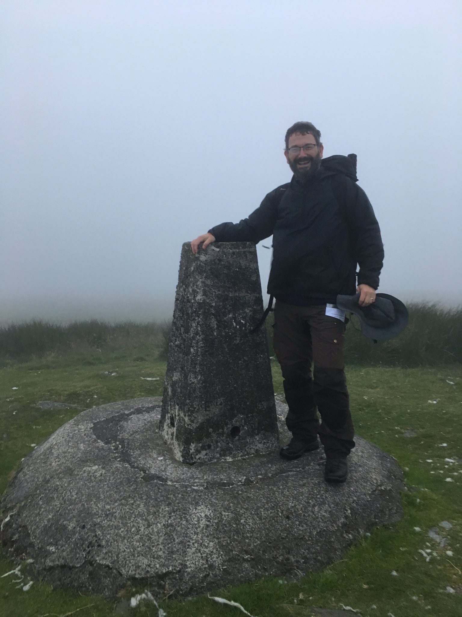
Trig Point: TP5522 Prescelly
WAB: SN03
Nearest Post Code: SA66 7QP
Height: 536m
Elevation/Distance: 126m of ascent over a distance of ~3km. A reasonably easy climb.
Time to ascend: ~50 minutes
Parking options: Car park on B4329 (SN075321). You can alternatively park at Rosebush on B4313.
The first kilometre or so is very boggy ground. A dry path can be found but it does slow progress and one must be cautious not to end up knee deep in bog :o\
The summit has no appreciable cover but it is possible to hunker down behind one of the small rises to reduce exposure.
Link to SOTAmaps.org for this summit.

