For the last few years, James (M0JCQ) has thrown down the SOTA gauntlet to me to activate 5 x SOTA Summits along the English/Welsh border in one day. Of course, to make it more miserable he insists on doing this in the winter to earn the winter bonus for each of these 2 point summits gaining us 25 points in one day. Here are the summit details...
The following map shows the five, two point peaks (in light blue) as they sit in relation to one another. Alternatively you can view the two regions that these five summits sit in at sotamaps.org (give it a moment to load as it has to filter by regions). The five summits sit in the upper right of the GW/MW & G/WB regions in the Shropshire hills.
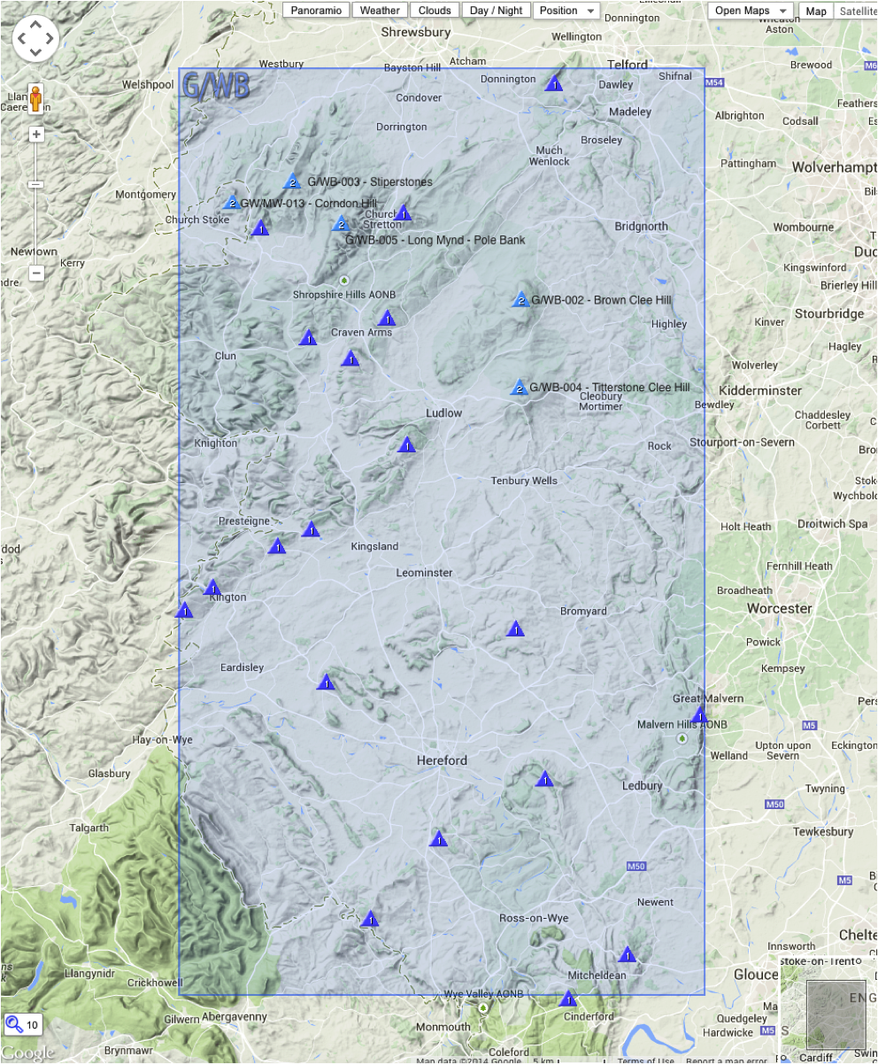
It is suggested that the hills are worked in the following order (or the reverse) to minimise travel.
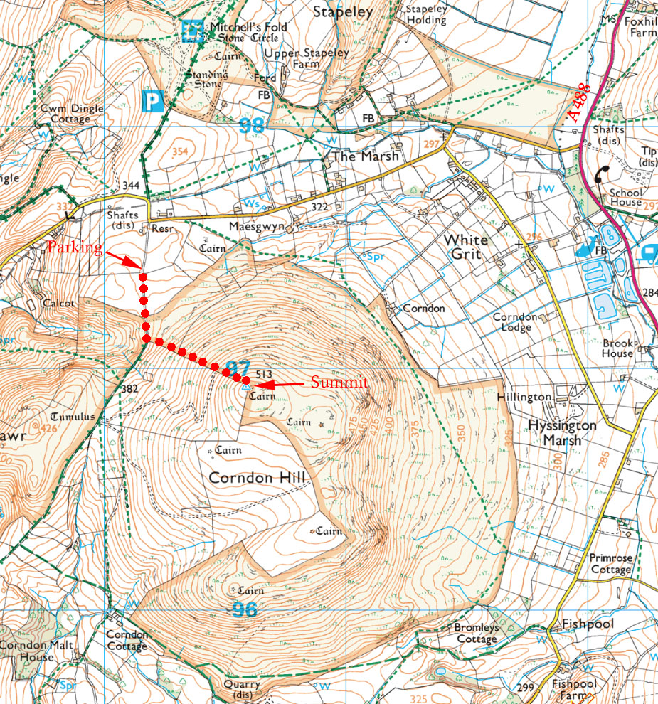
Corndon Hill GW/MW-013
Latitude: N 52° 33' 55", Longitude: W 3° 1' 31"
Grid Reference : SO306969
QTH Locator: IO82LN
Trig Point: TP2416 (Cordon Beacon)
WAB: SO39
Nearest Post Code: SY5 0JJ
Height: 513m
Elevation/Distance: 152m of ascent over a distance of 1km. Very steep...you'll get hot on the climb so dress accordingly and prepare to add more clothing at the summit.
Time to ascend: 20 minutes ascent, 10 minutes descent.
Parking options: Park at SO301973 (N 52° 34' 11", W3° 01' 55")
Head due south down the track to SO301971 then turn south east just before the fence surrounding what looks like a ‘Christmas Tree farm’ and head up the steep lung-busting grassy slope to the summit. There is a wooden bench at the summit and a cairn that offers some shelter from the wind.
Link to SOTAmaps.org for this region.
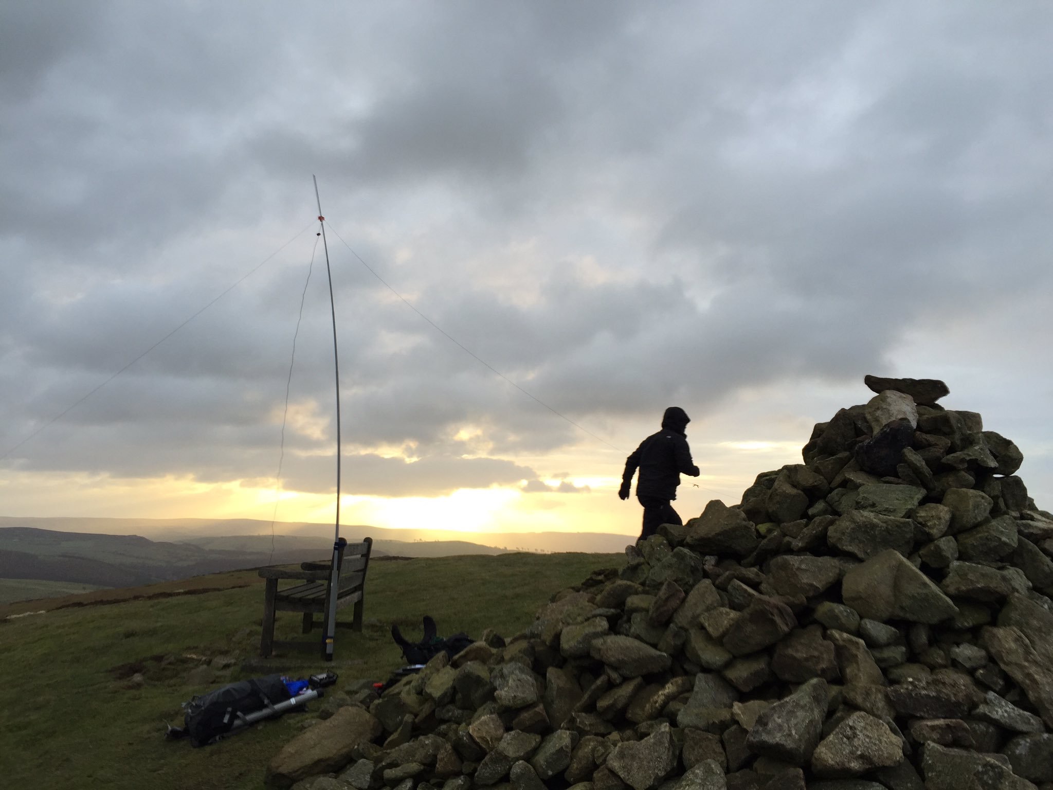
Quickly setting up the dipole in very cold winds.
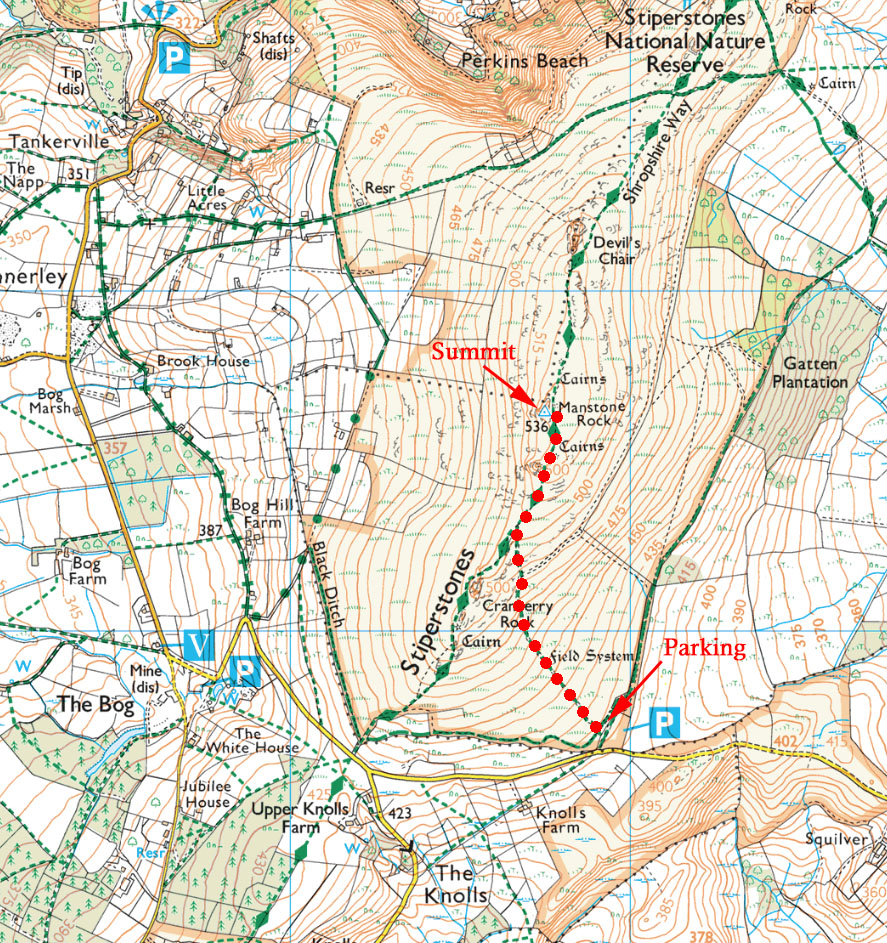
Stiperstones G/WB-003
Latitude: N 52° 34' 54", Longitude: W 2° 56' 5"
Grid Reference : SO367986
QTH Locator: IO82MN
Trig Point: TP6185 (Stiperstones)
WAB: SO39
Nearest Post Code: SY5 0NF
Height: 536m
Elevation/Distance: 88m of ascent over a distance of 1.1km. A reasonably easy ascent but the rocks near the top can be treacherous especially when wet...tread carefully.
Time to ascend: 20 minutes ascent, 20 minutes descent.
Parking options: Free car park at SO369977 (post code SY5 0NL - N52° 34' 26", W2° 55' 54")
The path is wide and well trodden in the initial grassy slopes. The trig is up on a rocky prominence but it is possible to tuck yourself in at the bottom of this and be within the activation area.
Link to SOTAmaps.org for this region.
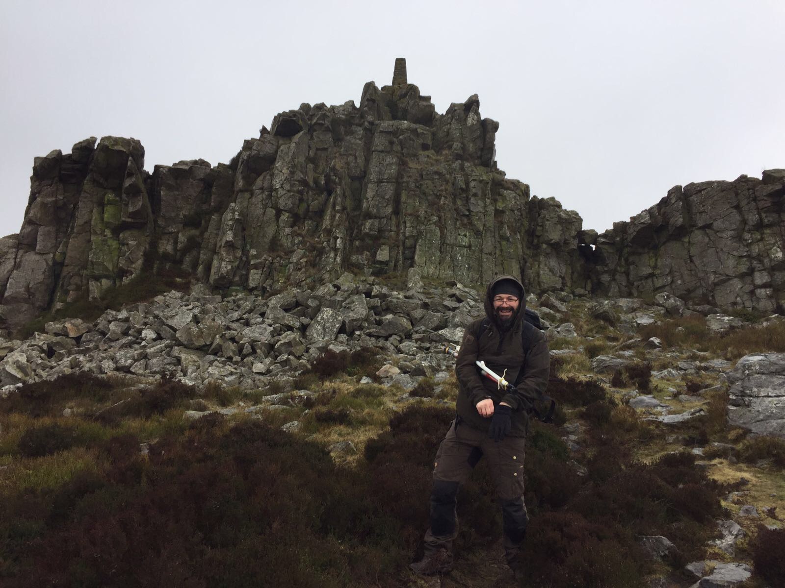
G0POT with the rocky prominence and trig point in the background.
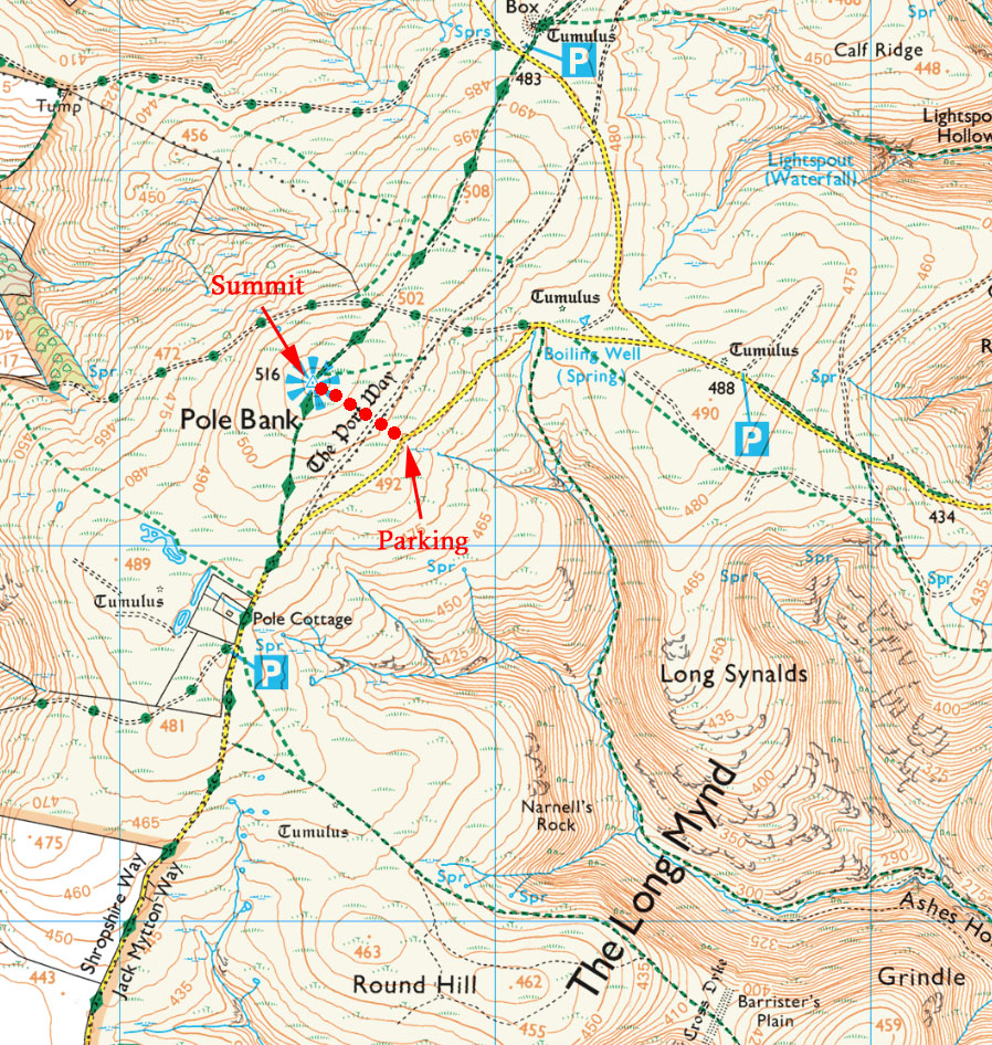
Long Mynd - Pole Bank G/WB-005
Latitude: N 52° 32' 40", Longitude: W 2° 51' 49"
Grid Reference : SO415944
QTH Locator: IO82NN
Trig Point: TP4524 (Long Mount)
WAB: SO39
Nearest Post Code: SY9 5EL
Height: 516m
Elevation/Distance: 27m of ascent over a distance of a few hundred meters.
Time to ascend: 10 minutes ascent, 10 minutes descent.
Parking options: Free car park at SO417942 (post code SY9 5EL - N52° 32' 35", W 2° 51' 37").
A really easy ascent...almost flat! The narrow path is through knee high heather so recommend waterproof trousers when it's been raining.
Link to SOTAmaps.org for this region.
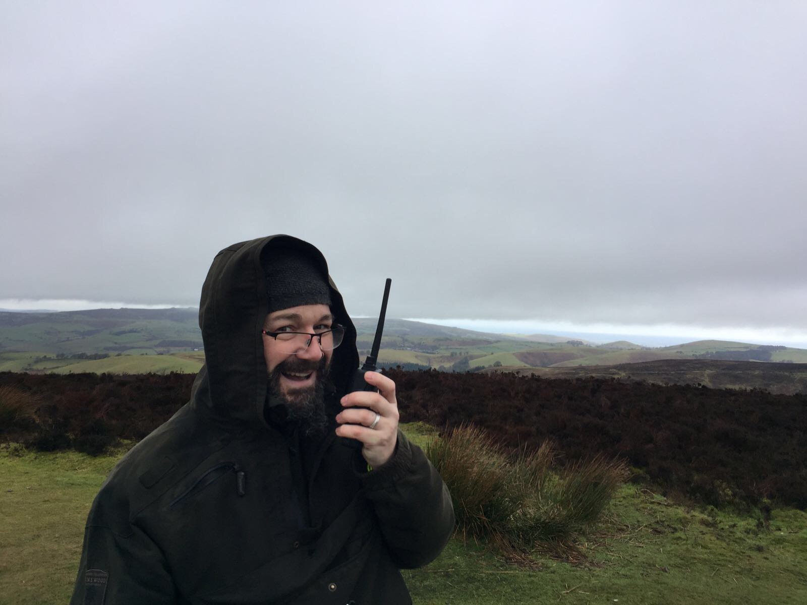
A quick 2m FM contact on this particularly flat summit.
Brown Clee Hill G/WB-002
Latitude: N 52° 28' 32", Longitude: W 2° 36' 2"
Grid Reference : SO593867
QTH Locator: IO82QL
Trig Point: None (Still listed as TP1701 Bridgenorth)
WAB: SO58
Nearest Post Code: SY7 9HU
Height: 540m
Elevation/Distance: 190m of ascent over a distance of 1.3km.
Time to ascend: 30 minutes ascent, 30 minutes descent.
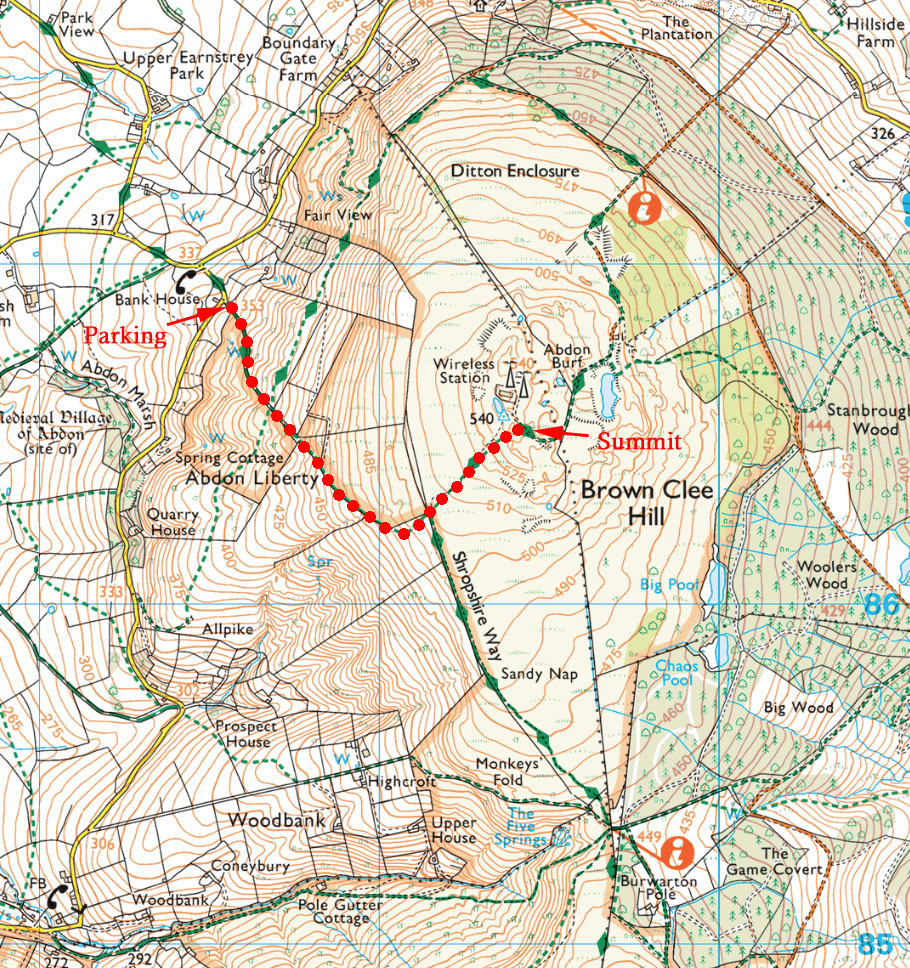
Parking options: There is parking on grass verge at the start of the bridleway on the western side of Brown Clee Hill at SO585868 (post code SY7 9HU - N 52° 28' 41", W 2° 36' 42").
There is not a lot of parking space at the bottom of the track but it's possible to squeeze a car onto the verge on the adjoining road.
The climb is a medium difficulty with a (mostly) clear, well trodden path. Note that the top of the hill can be very boggy and the lower half of the path quite slippery in the wet on the descent.
As you crest the summit passing to the right of the toposcope there is a small depression in the grass (to the right) which offers some shelter. There is a large aerial array at the summit and VHF can suffer some interference from this but nothing too awful. The trig point has been replaced with a toposcope (original bits of the trig can be seen in the steps to the toposcope).
Link to SOTAmaps.org for this region.
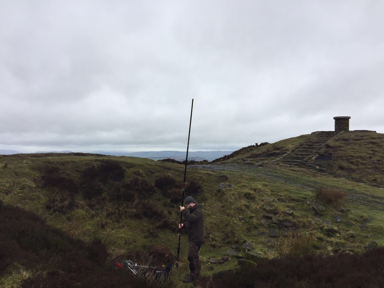
Setting up a mast for the 2m Yagi in the 'small depression'.
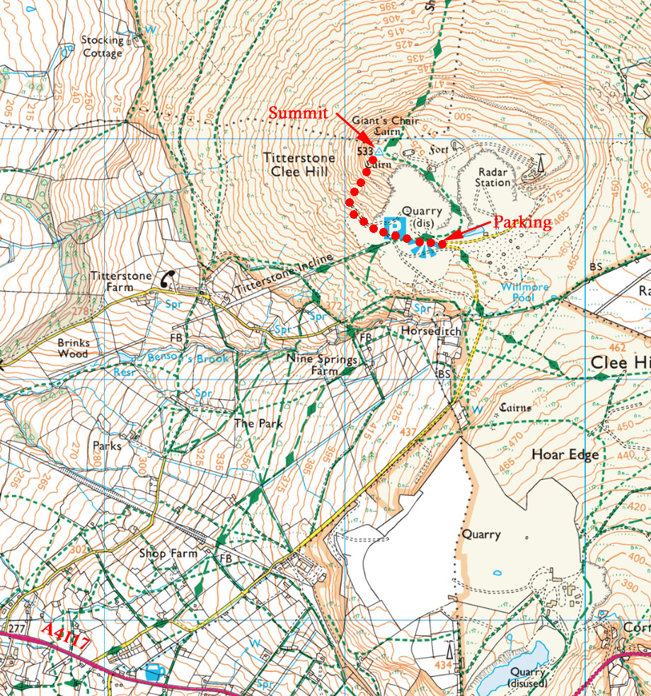
Titterstone Clee Hill G/WB-004
Latitude: N 52° 23' 51", Longitude: W 2° 36' 3"
Grid Reference : SO591779
QTH Locator: IO82QJ
Trig Point: TP6498 (Titterstone Clee)
WAB: SO57
Nearest Post Code: SY8 3NY
Height: 533m
Elevation/Distance: ~60m of ascent over a distance of 0.8km. A steep ascent if a direct route is taken but it's only a short distance.
Time to ascend: 10 minutes ascent, 10 minutes descent.
Parking options: Car park at SO593775 (post code SY8 3NY - N 52° 23' 40", W 2° 35' 56"). This will take you to Dhustone Lane off the A4117 Ludlow Road. Follow this lane to the very top of the hill until you arrive at the large car park on the left. Beware the potholes!
There are a number of routes up to the summit but we typically carry on west, north-west from the car park across a large open space then strike uphill from there aiming directly for the trig point (which cannot been seen until you crown the summit). There is a small hollow cairn near the trig point which can offer some shelter and also some buildings about 100m away (SO592779) which can also provide a wind break.
Link to SOTAmaps.org for this region.
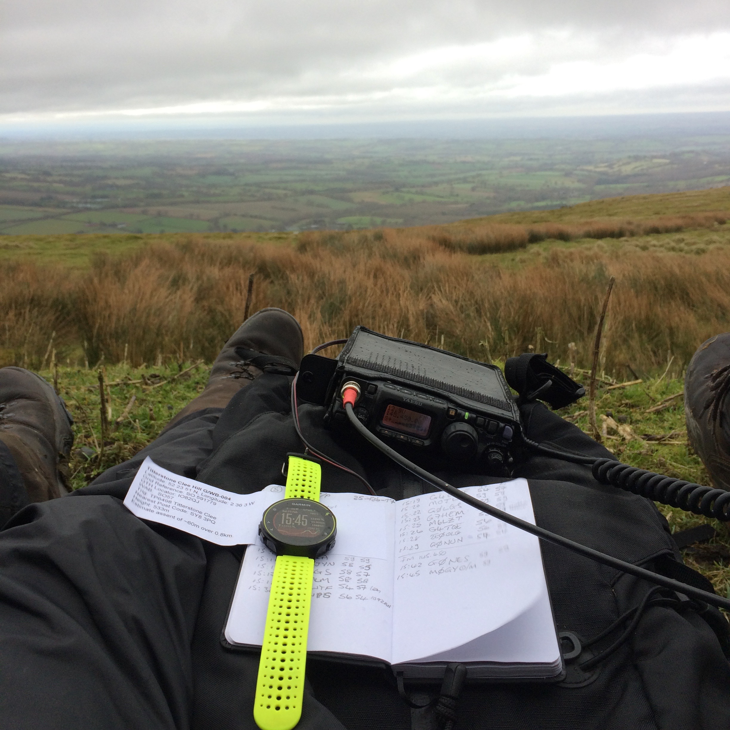
The operating position hunkered down, out of the wind, behind Radar buildings.
