Latitude: N 50° 44' 41", Longitude: W 2° 50' 38"
Grid Reference : SY405942
QTH Locator: IO80nr
Trig Point: none
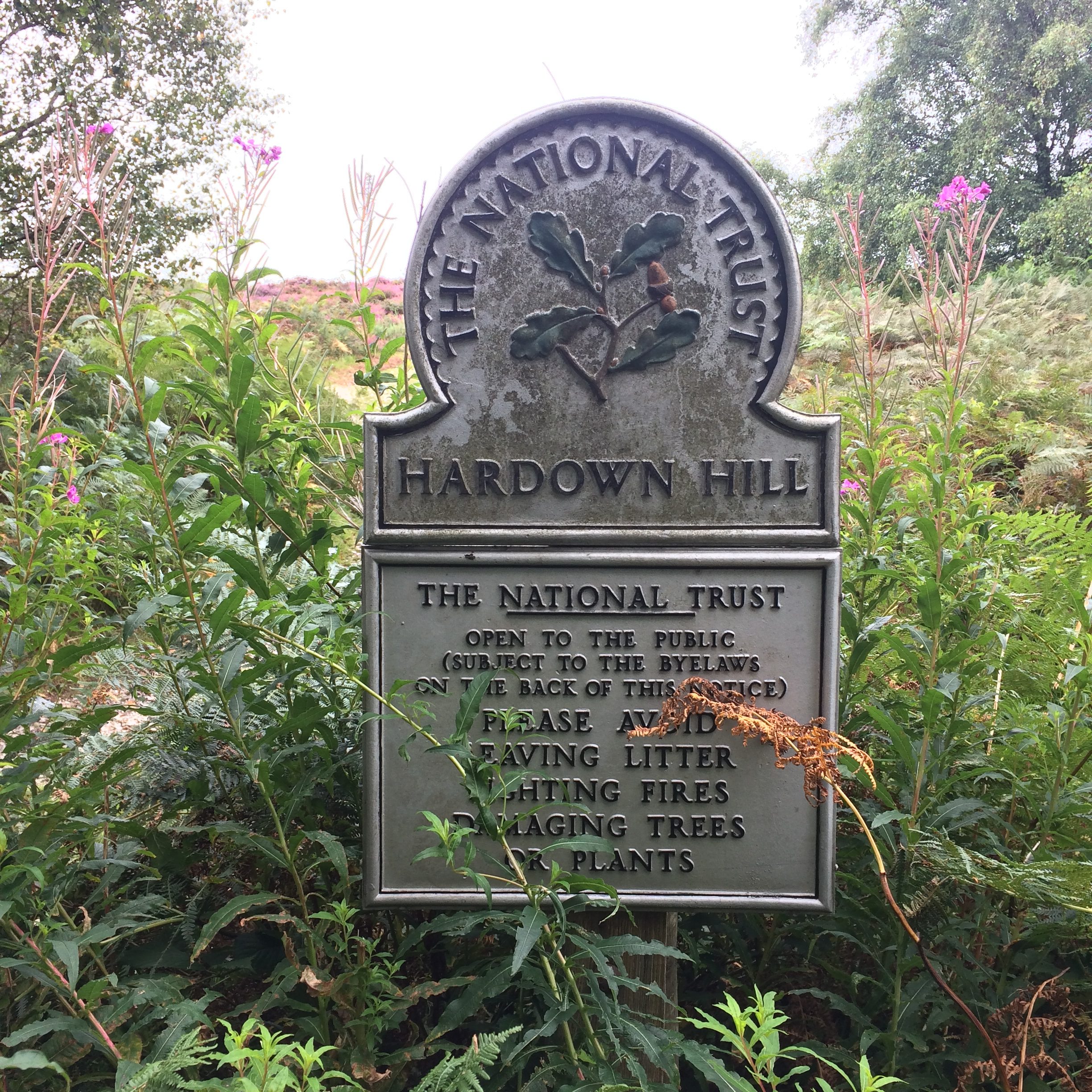
WAB: SY49
Nearest Post Code: DT6 6DU
Height: 207m
Elevation/Distance: 50m ascent over a distance of 500m. An easy climb. The paths up are a little rough in places.
Time to ascend: ~10 minutes
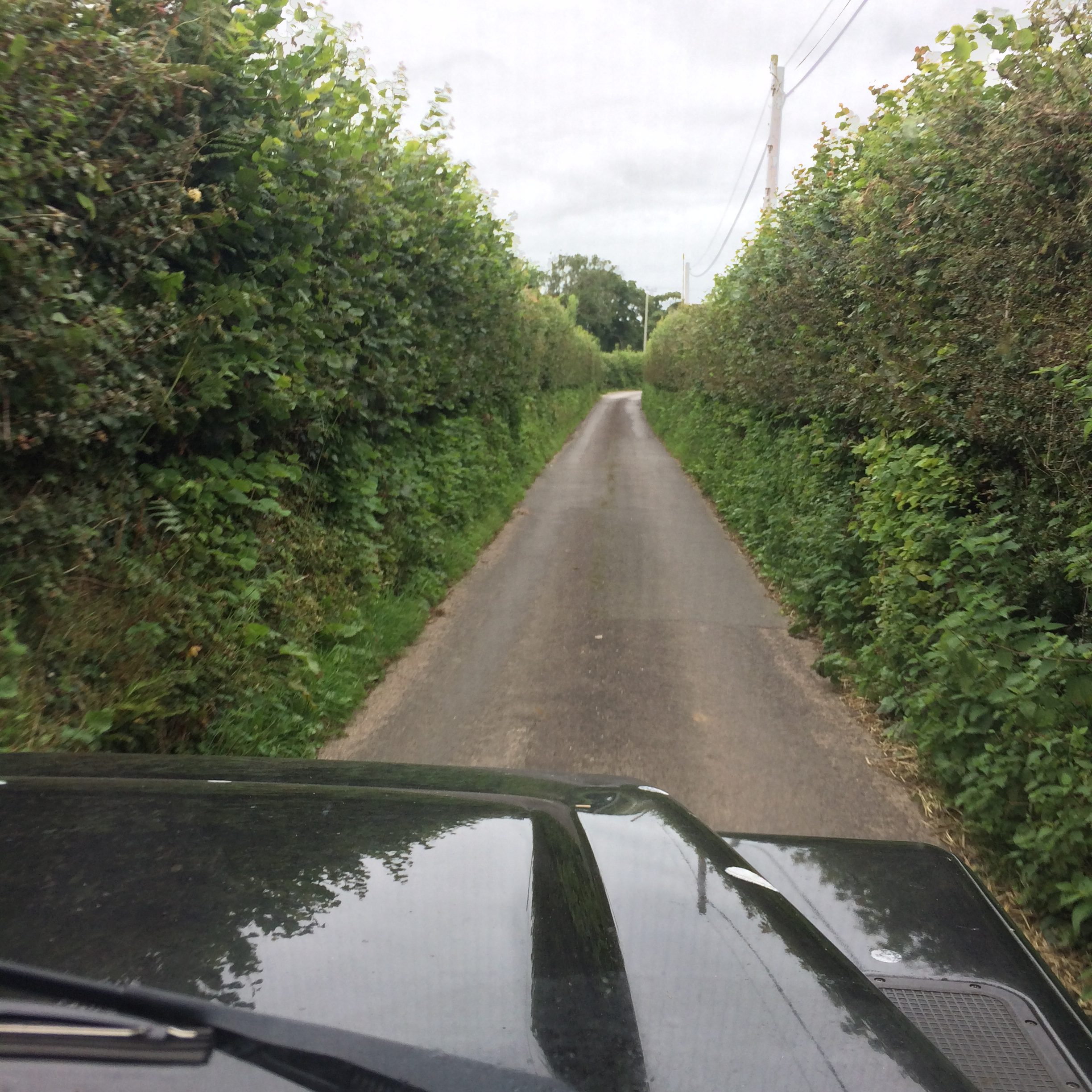
Parking options: Parking is very difficult around the summit with steep sided, narrow single carriage ways. Most pull-ins are essential for cars to pass so avoid parking in these. Check out the map below for one option, a pull-in for two cars opposite a house at SY404948.
From my starting point at SY404948 continue up the hill about 100m where you will see a wide entrance to a path on your left. There is an entrance to a house here on the left and another entrance into a field marked private but if you look carefluly you'll see there is a lane (somewhat camouflaged). The climb is quick and reasonably easy. When the path splits take the left turn. The summit has no appreciable cover and is covered in gorse which makes putting up aerials an absolute arse! Somewhere on the summit is a bench which offers comfortable sitting and a lashing post for your mast.
Link to SOTAmaps.org for this summit.