Latitude: N 50° 48' 26", Longitude: W 2° 47' 57"
Grid Reference : ST437012
QTH Locator: IO80ot
Trig Point: none
WAB: ST40
Nearest Post Code: DT8 3JZ
Height: 279m
Elevation/Distance: 125m ascent over a distance of ~1.2km. A moderate climb. Paths are good but it's long and steep towards the top.
Time to ascend: ~25 mins
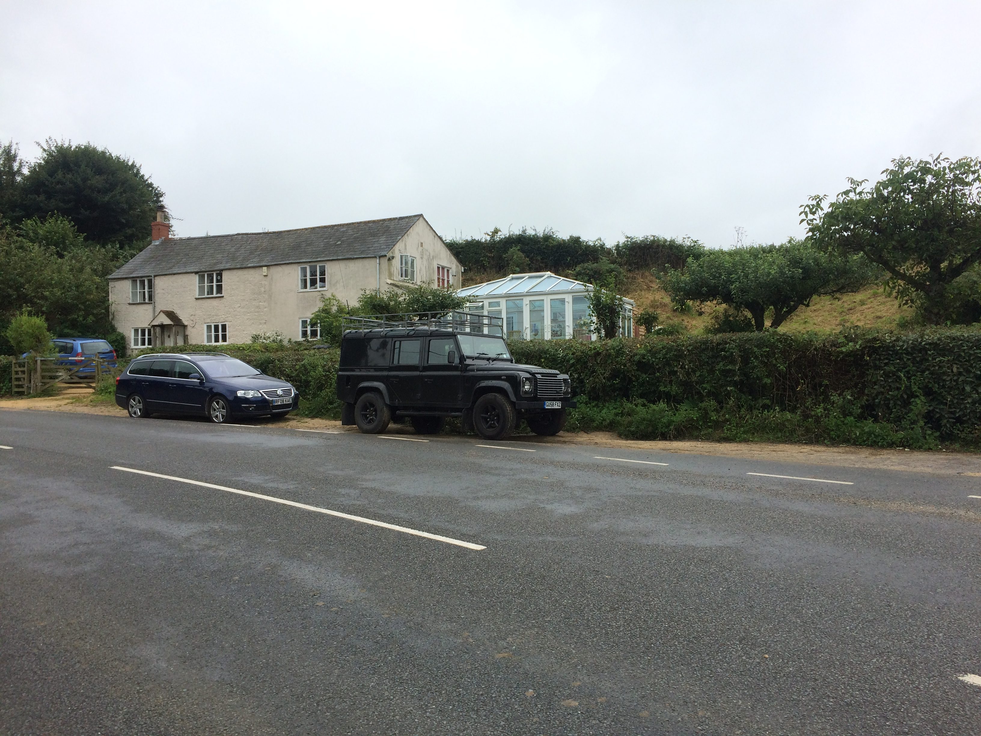
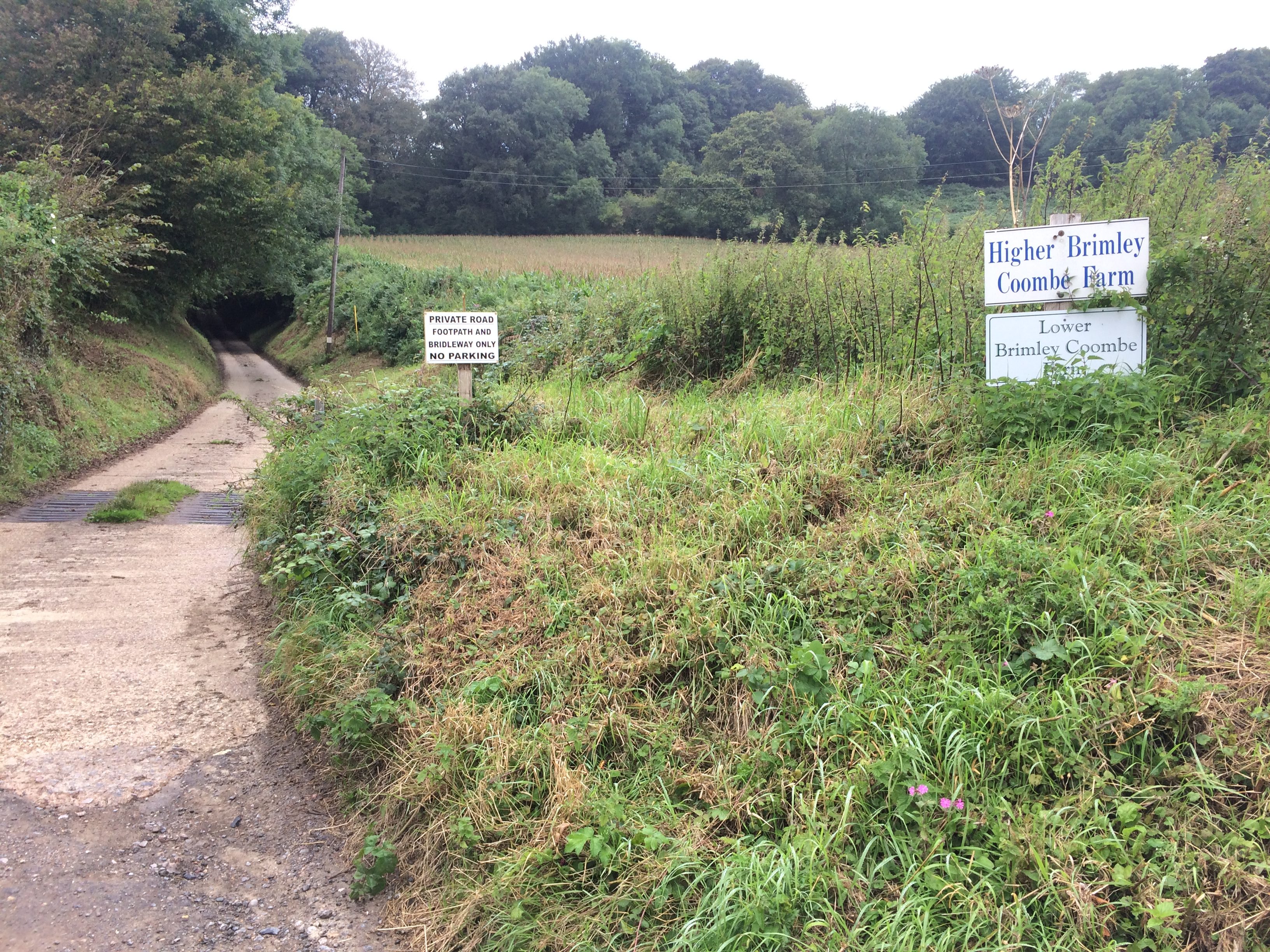
Parking options: Parking is limited but there is roadside parking outside a row of cottages at the start of the private road shown on the map below (at ST439004).
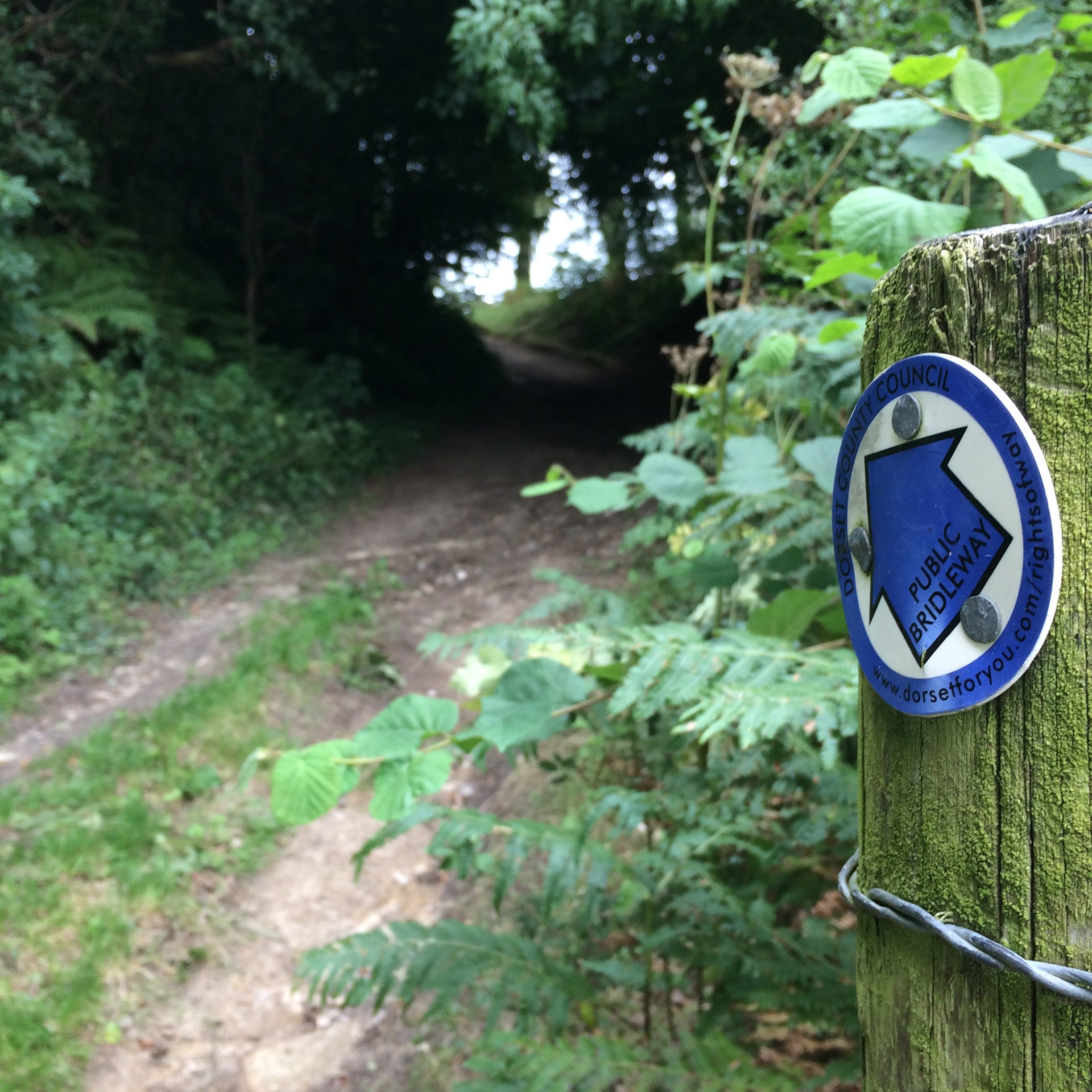
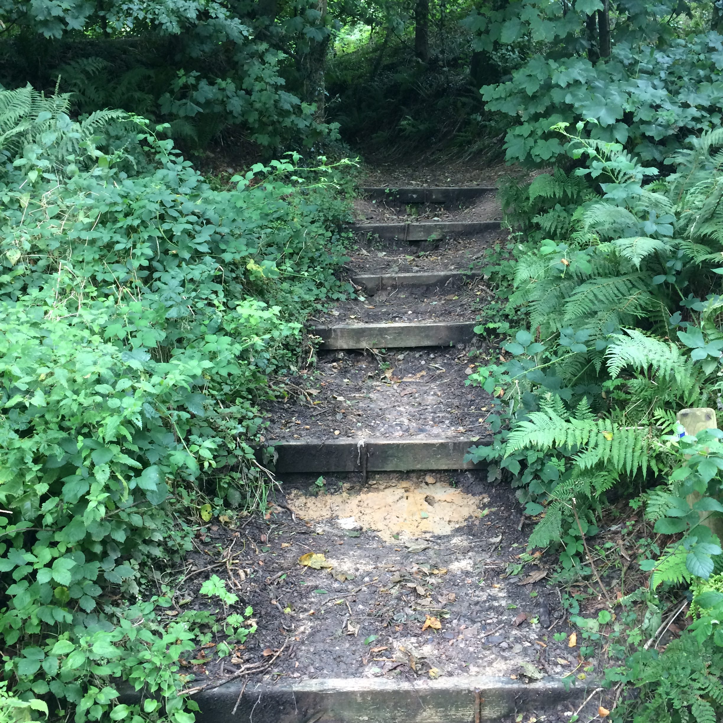
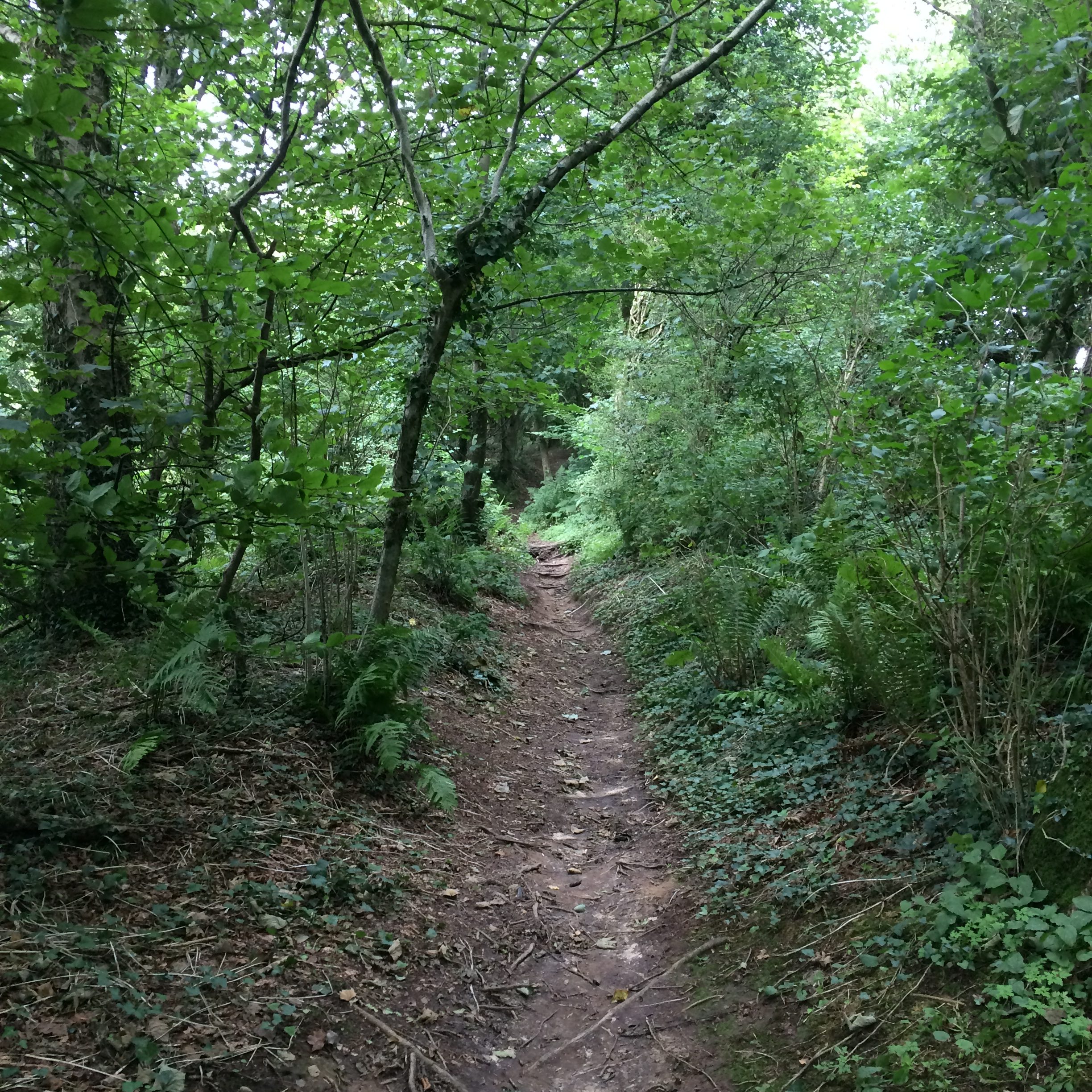
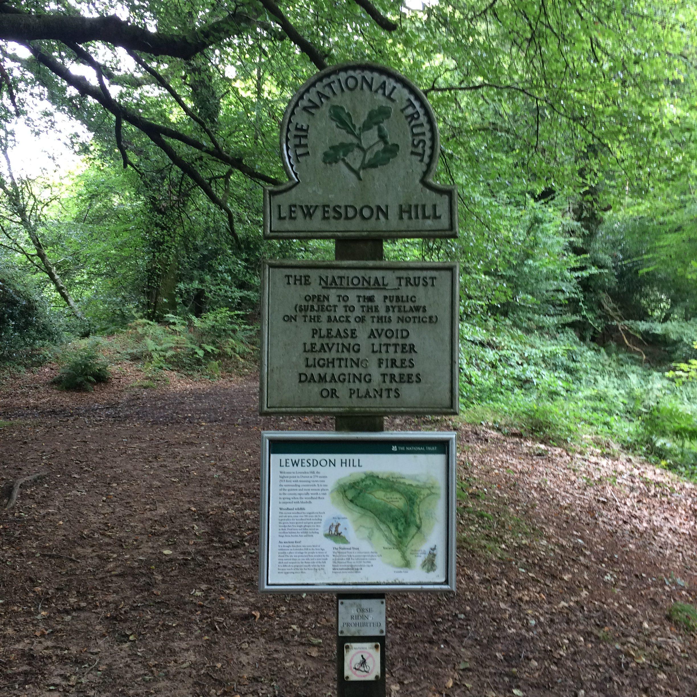
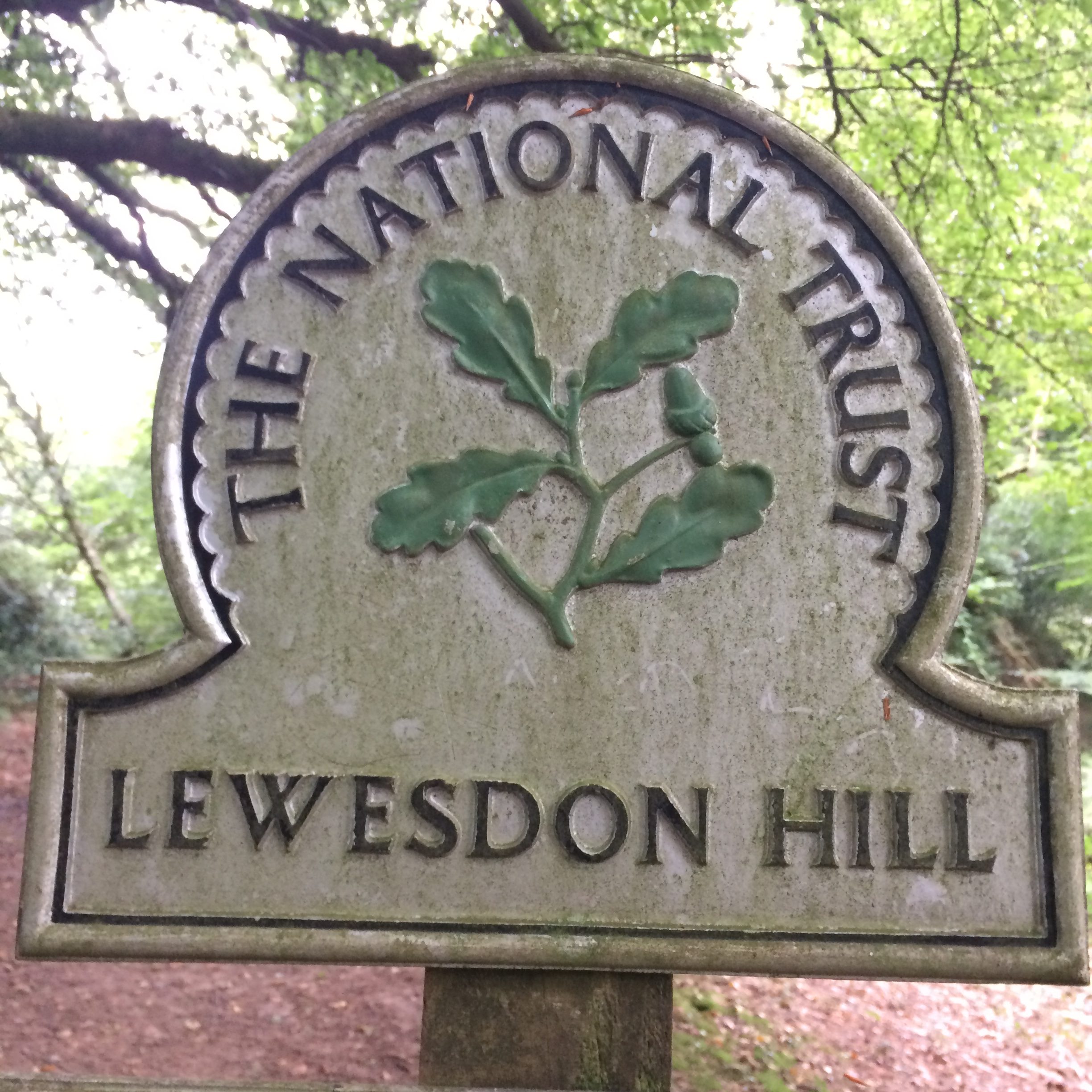
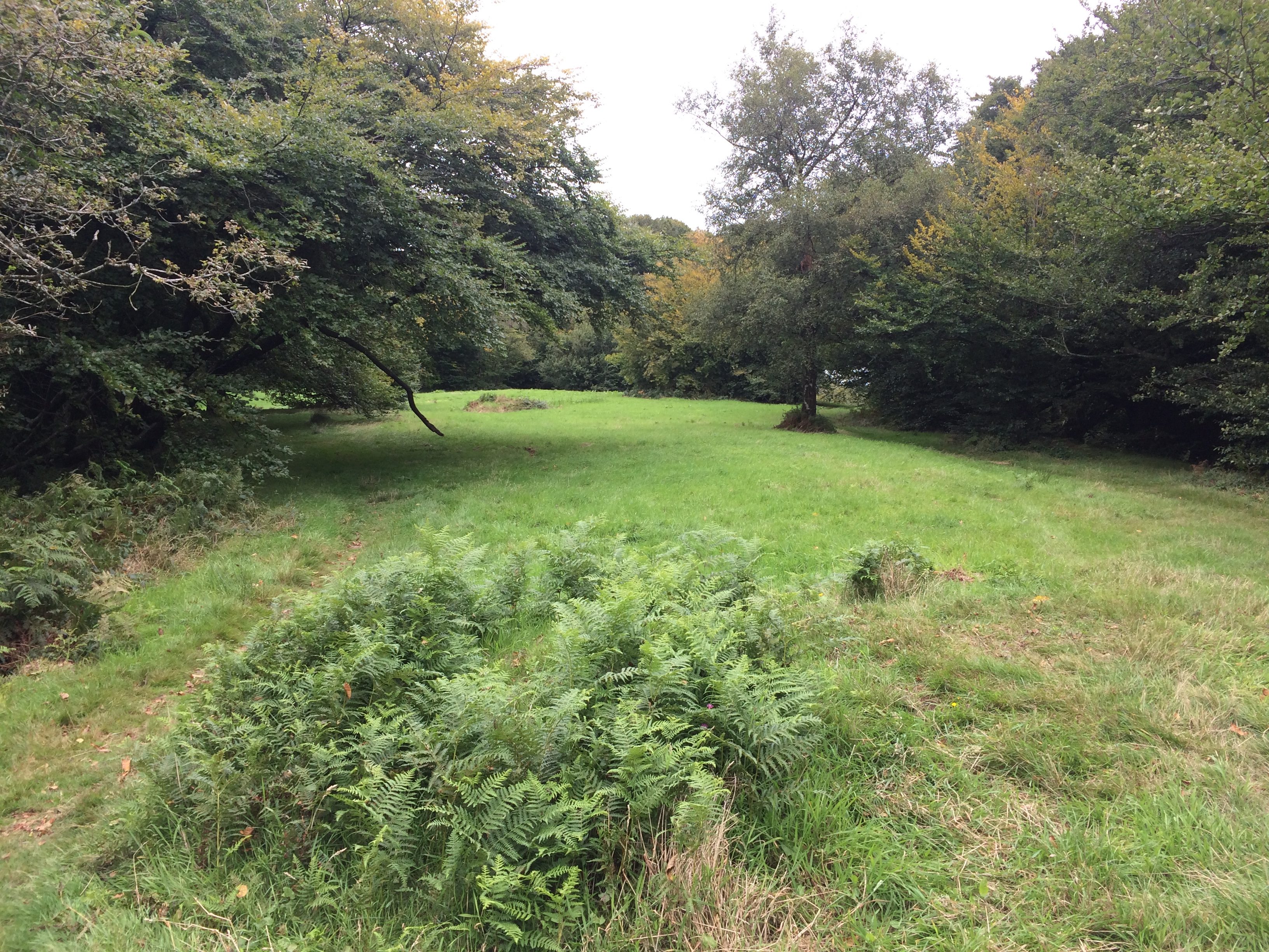
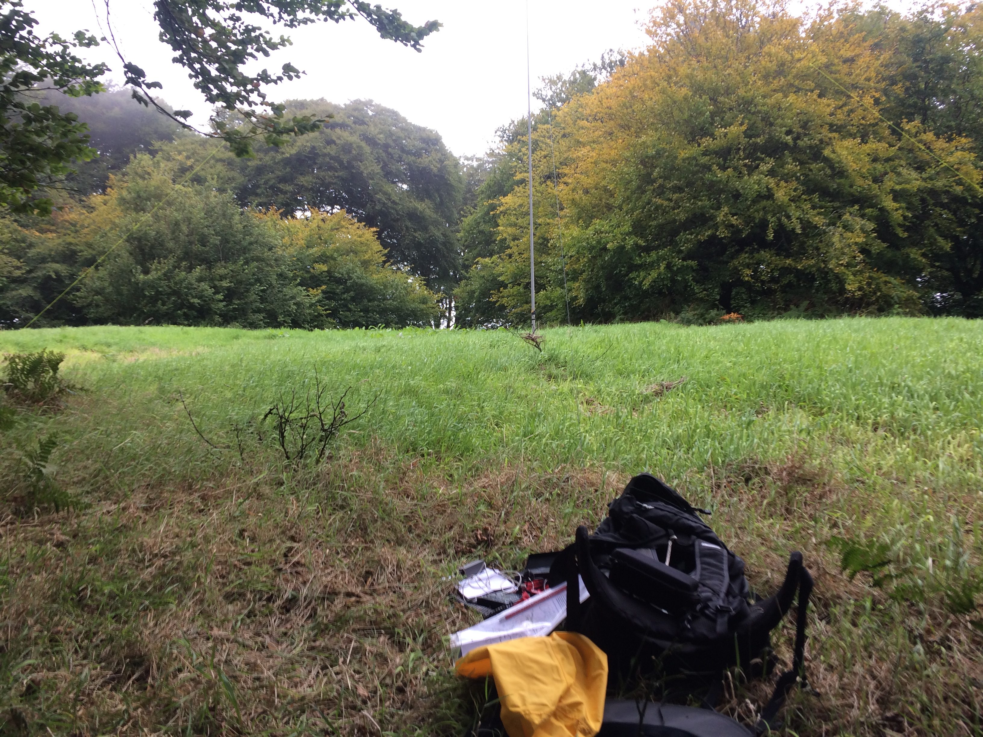
The start of the climb is on a private tarmacked road. At the brow of the hill take the gate on your right following the bridleway signs and then, after about 20m take the steep path on your left marked with the blue bridleway sign. After a few initial steps the path splits with a well defined path bearing left and a less well defined path bearing right...take the path bearing right. The summit is flat, long and narrow and sadly not perfectly aligned for a dipole but there is room to set up an HF dipole across the narrow width and quiet enough not to be an inconvenience to other walkers. The flat summit is surrounded by trees which give some wind/sun protection.
Link to SOTAmaps.org for this summit.